Jeri’s Steps: 23,067
Miles walked: 7.9
Elevation: 534
Pints: 4
Churches: none
Stiles:16
Benches:3
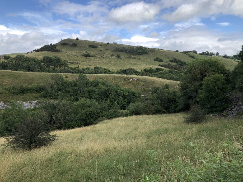
After a lackluster breakfast at the faded glory that is the Palace in Buxton we shopped for lunch in town and had a coffee before taking a taxi to our start point. Nigel, our driver, was quite talkative and we chatted about the water shortages in the western states of the US as the rain came down outside the car. Monyash was a nice little village where the path started to ascend some fields bordered with numerous stone walls. We passed a group of five amourous llamas (don’t ask). Stone walls mean stone stiles and all were of good quality and easy to get over. At the top of the hill after carefully navigating around a huge brown bull lying down ignoring us we came to some disused lead mining pits and a wildflower reserve called Hard Rake. Rake is the name given historically to lead works.
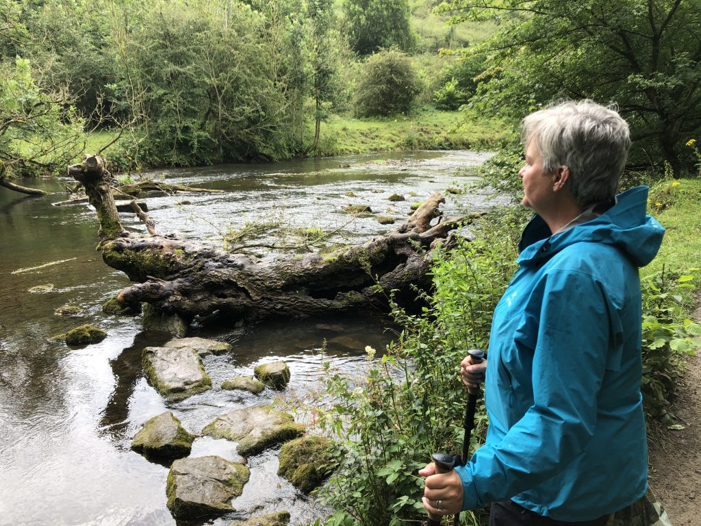
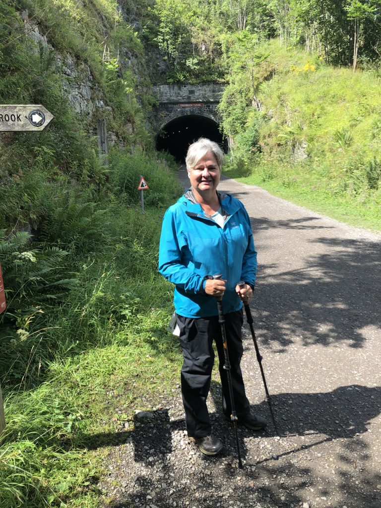
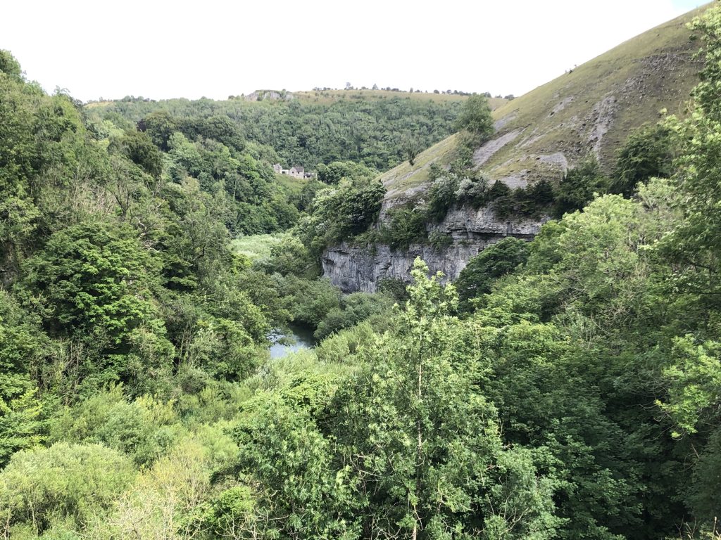
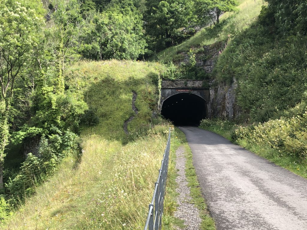
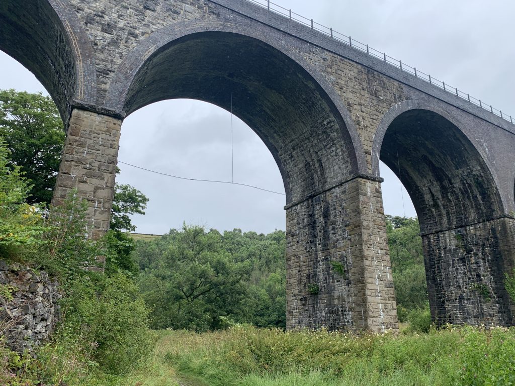
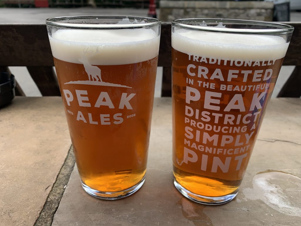
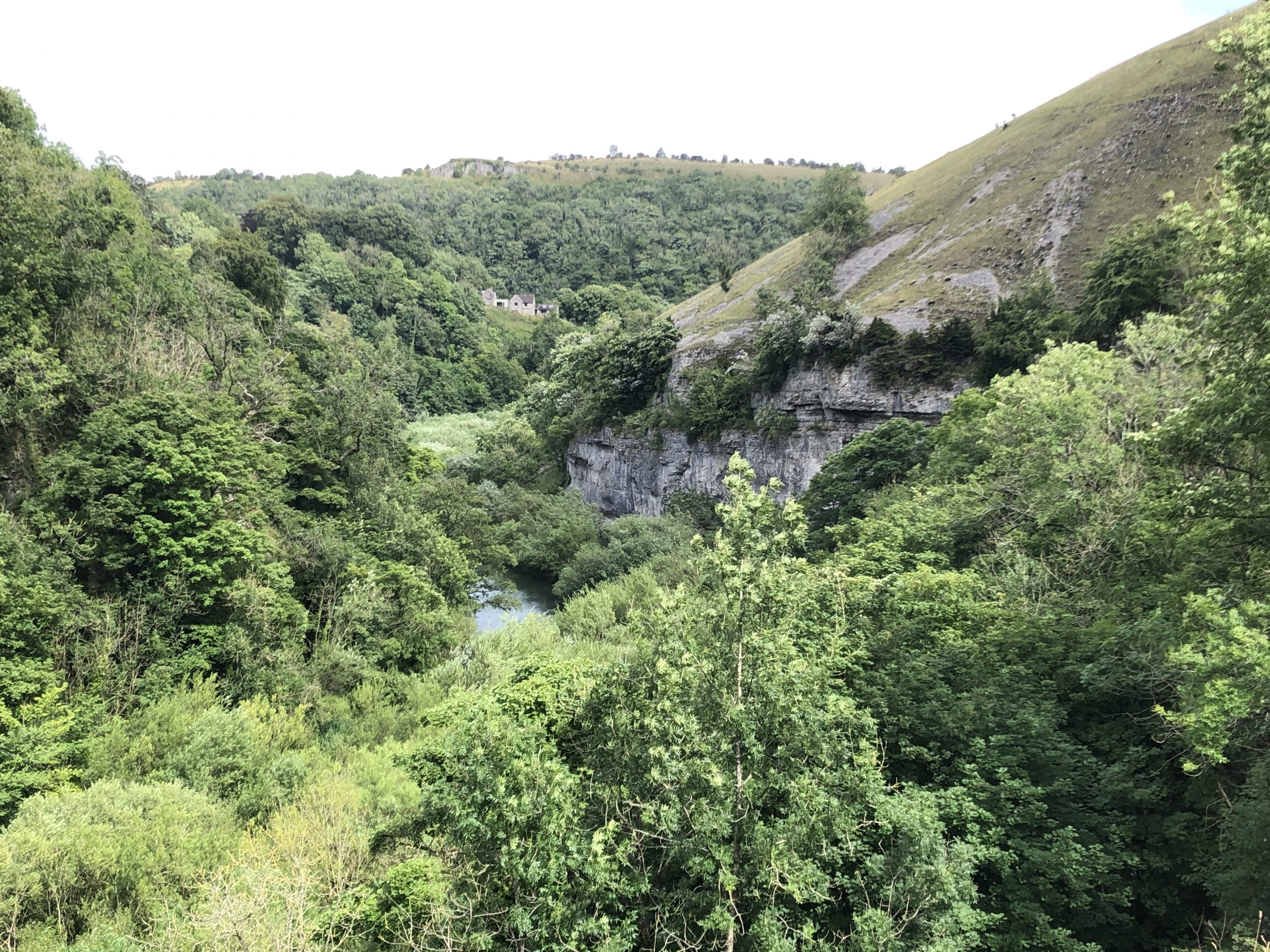
The sun was trying to peek through between rain showers as we descended a broad track into Deep Dale, another nature reserve. The path was on springy sheep mown turf with an easy downhill. Then after navigating through a car park and crossing a road we were in Monsal Dale next to the Wye river (not to be confused with the Wye of the Welsh borders). Soon the footpath joined yet another disused railway track and we took lunch sitting on a wall watching a lot of families cycle past. We walked through the Cressbrook and Litton tunnels, reminiscent of the very long tunnels underneath Bath last month, though these were only about 400 meters long and soon enough we were in Millers Dale were we sat outside the Anglers Rest in the sunshine drying off and drinking the excellent Bakewell Best bitter whilst waiting for our good friends Andy and Fiona to ferry us back to Buxton.
So far the Derbyshire dales have been superb walking country despite the weather, though perhaps our enthusiasm has been stoked somewhat by the fact that we haven’t had to attack any major ascents. We await those next week with some degree of trepidation.
Download file for GPS
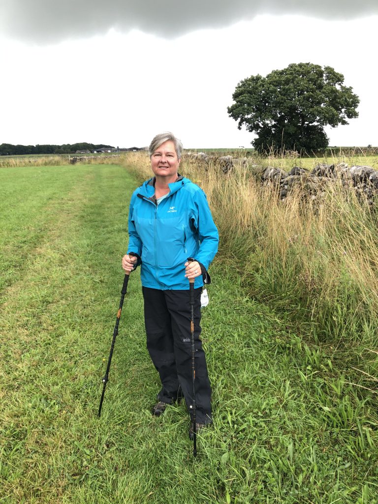
Above Monyash 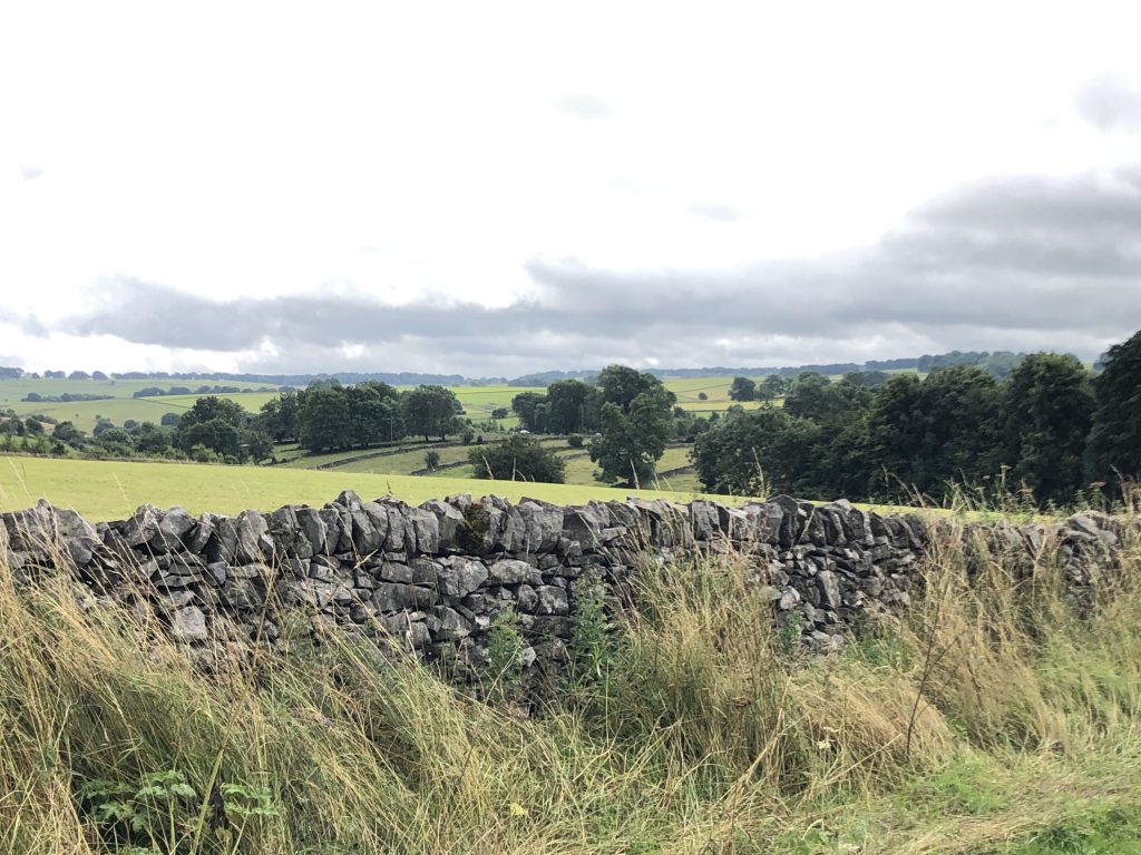
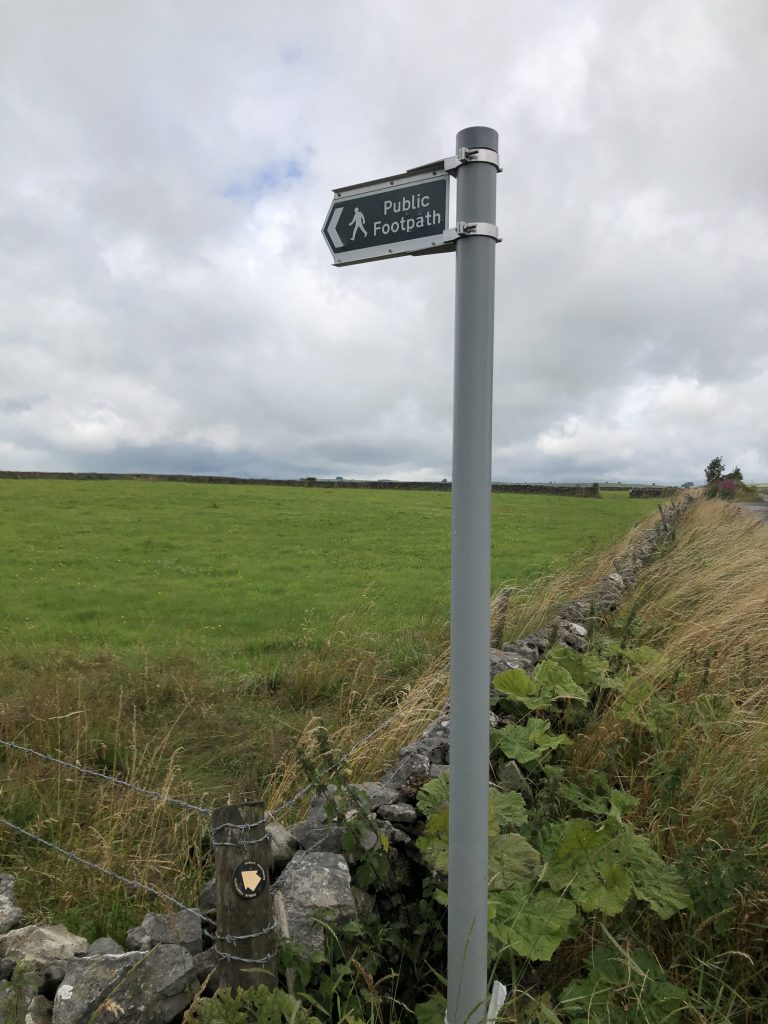

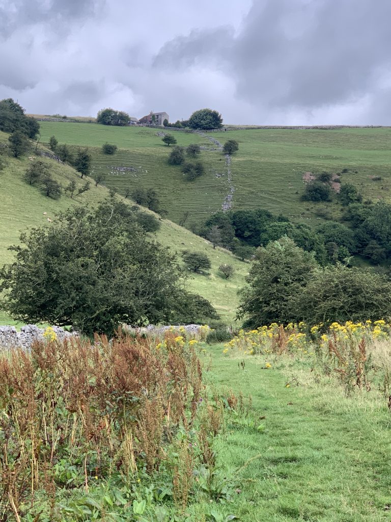

Deep Dale 
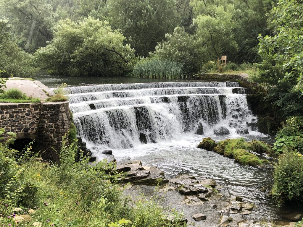
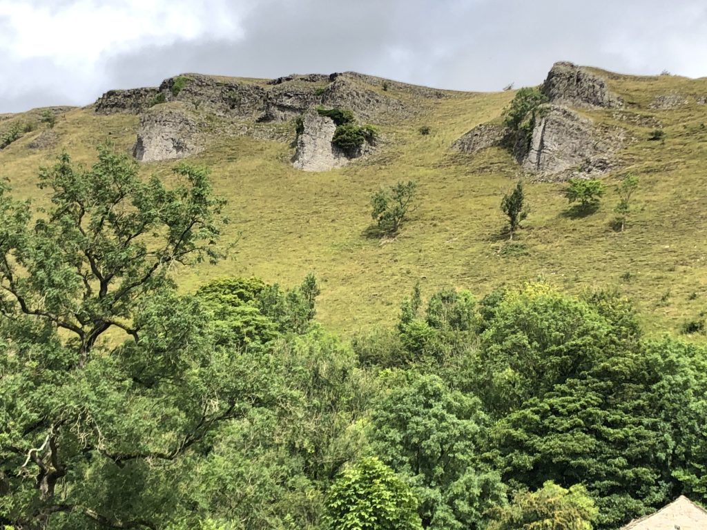
Monsal Dale 