

Jeri’s Steps: 25,567
Miles walked: 9.45
Elevation: 1,391
Pints: 5
Churches: 1
Stiles: 20
Benches: 1
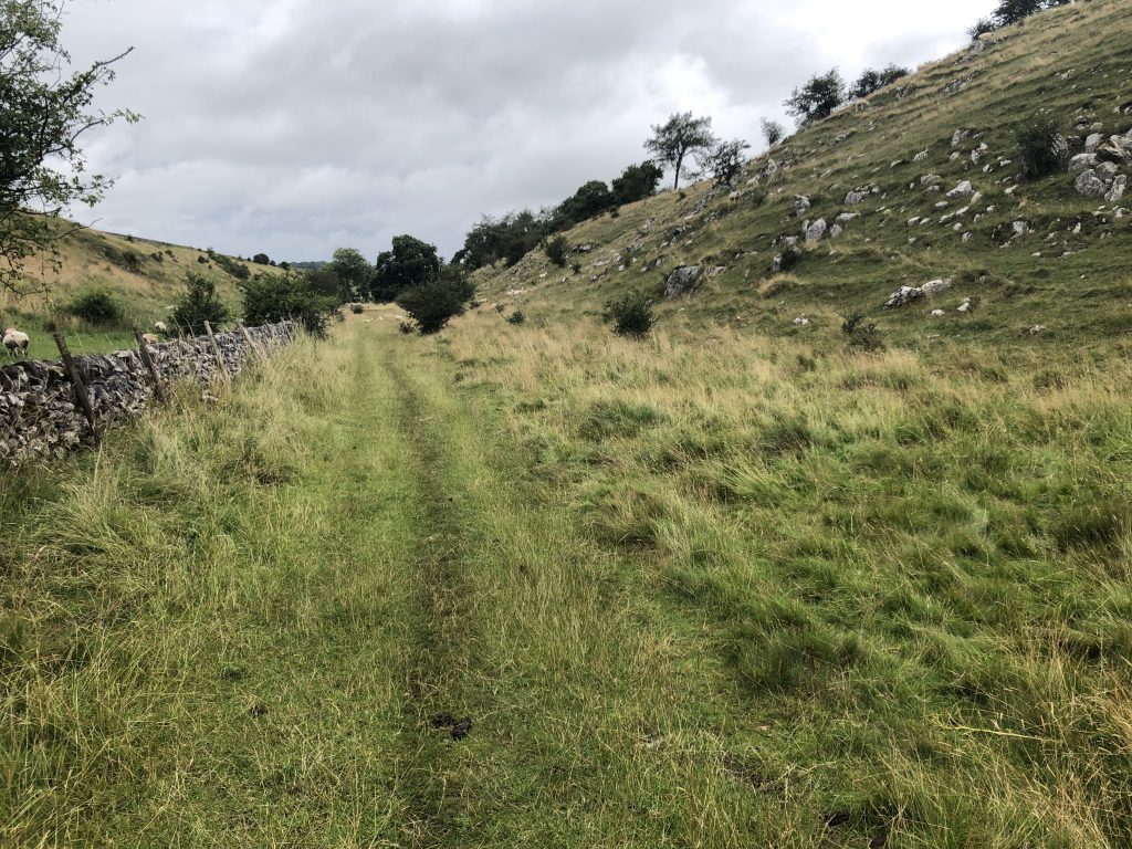
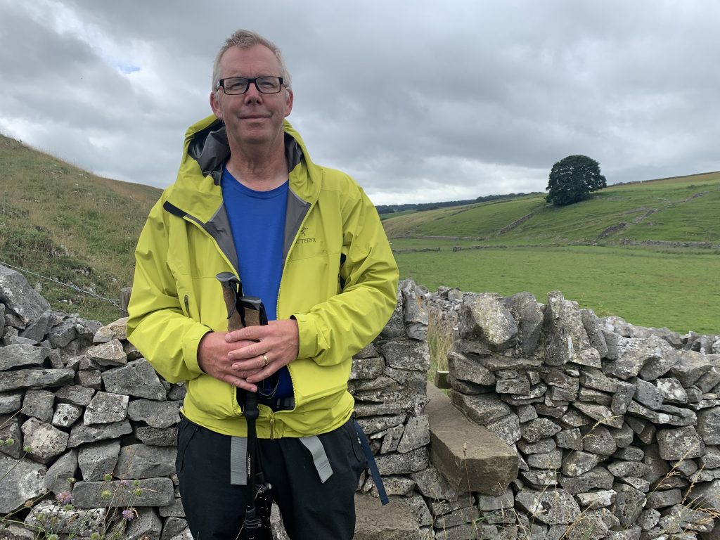
Our support van (thank you Deans) dropped us off just after 9:30 and we headed north. Hay Dale and Dam Dale were both smaller than the valleys we passed through yesterday but were delightful – very few trees, solid drystone walls and substantial stiles. We quickly reached Peak Forest and stopped at the church for a rest. It was closed so we sat on a bench outside. After about 5 minutes there was an almighty crack and the bench collapsed beneath us. Now we are fairly convinced that we have lost a bit of weight in the last 370 miles, but evidently not. Maybe Tim’s small pork pie was the straw that broke the church’s bench?
We departed with our dignity in tatters, hoping no CCTV cameras caught the action. The track north took us to Oxlow Rake, yet another old mining area, this one in use for about 400 years prior to 1900. Nothing much remains except a lot of low grass covered spoil heaps. The path carried on up towards the north east. A small herd of young cattle came running across the field towards us then veered right in the direction of the feeding trough, disappointed to discover we’d brought nothing for them.
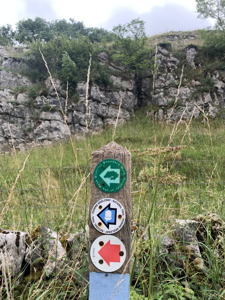
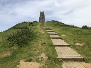
On Old Moor we joined the Limestone Way and enjoyed views to the north of the impressive bulk of Mam Tor. It started to rain as we sat on two stone stile steps to eat our lunch, but we were almost cosy in our rain gear. The path continued down into Cave Dale, which became steeper and steeper as we came closer to Castleton, at one point we had to very carefully pick our way down the very rocky slope using our trekking poles to steady ourselves. We passed Peveril castle and entered Castleton where we stopped for tea and a scone at the excellent visitors center. We bought (what else) a fridge magnet; when you are backpacking, souvenirs need to be light and compact.
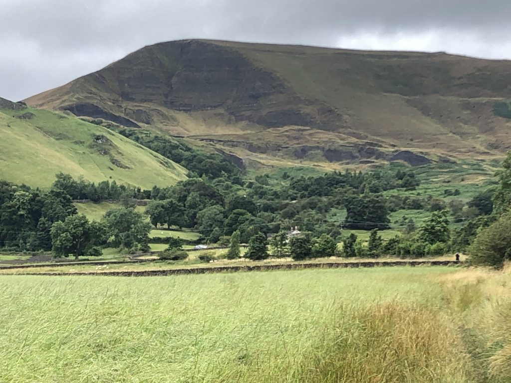
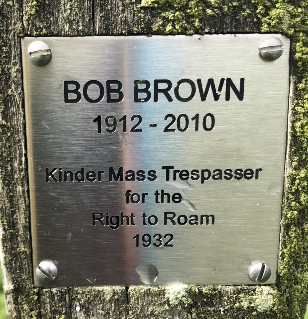
Now the big climb. Mam Tor was intimidatingly tall from afar but luckily we avoided the worst of it by ascending and crossing over the saddle at Hollins Cross. At the top we had a nice chat with a family from London. At one point the little girl said ‘I think that’s thunder’ so that was our cue to start the descent. The views to the north were of the Kinder plateau and the Vale of Edale with the village tucked away behind the trees. Further down the slope there was a finger post sign with a small square plaque commentating Bob Brown, one of the huge crowd who in April 1932 participated in the mass Kinder trespass.
https://en.m.wikipedia.org/wiki/Mass_trespass_of_Kinder_Scout
This mass trespass kickstarted the movement for people to gain access to such lands and arguably also contributed to the establishment of the Pennine Way in 1965.
The clouds were gathering above, but it was refreshing at last to see the start of the Pennine Way and the final phase of our walk this year. We prayed for good weather next week, then we put this out of our minds for a while because tonight a meal with Andy and Fiona awaits us and Sunday is a day of rest.
Download file for GPS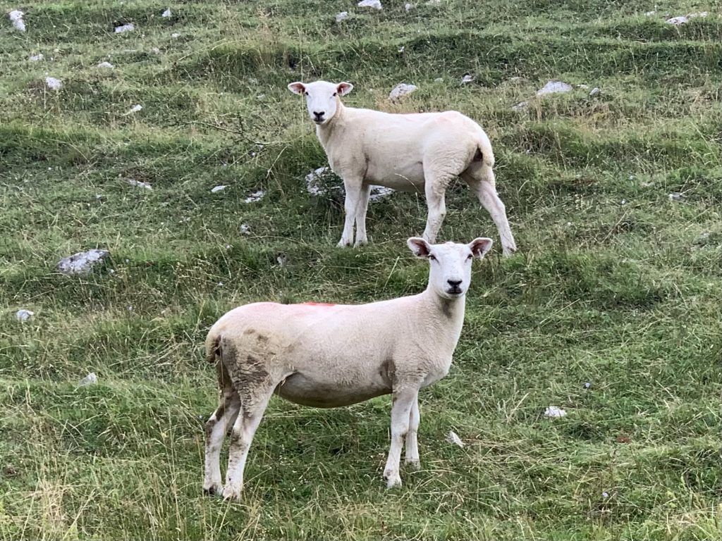

Hay Dale 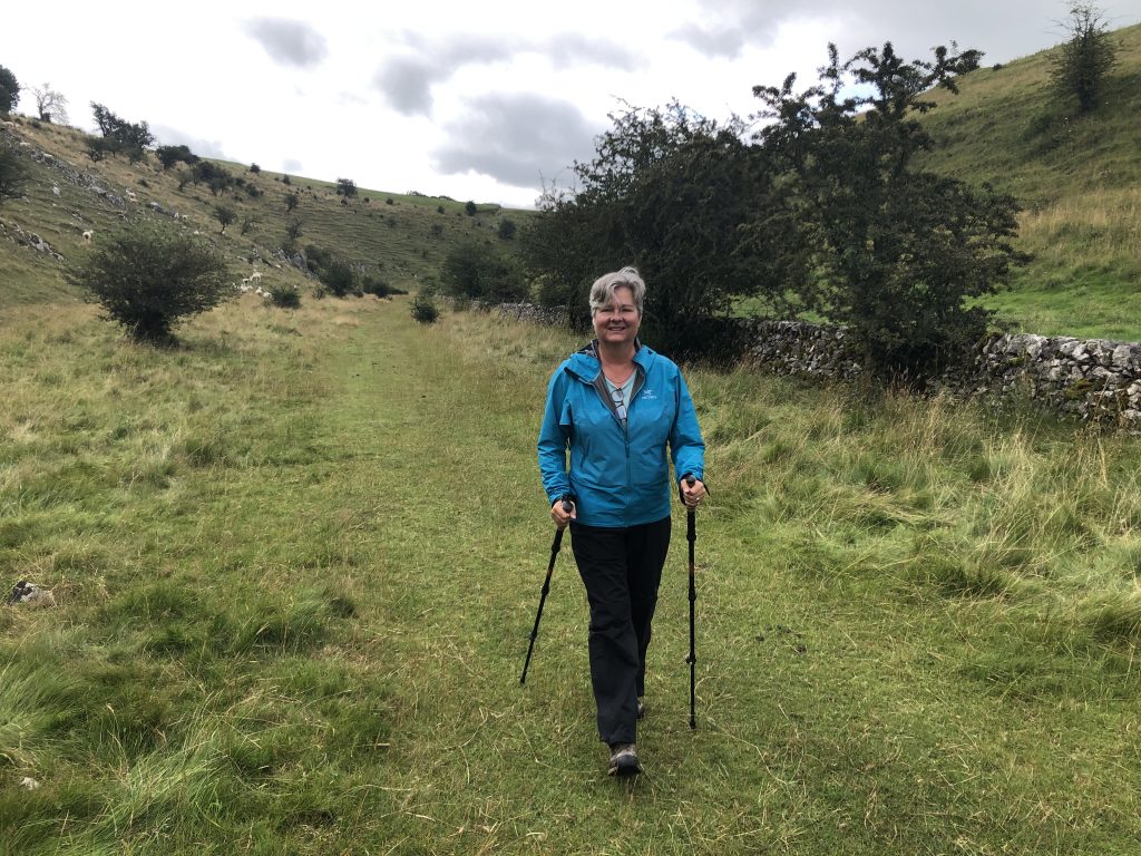

Dam Dale 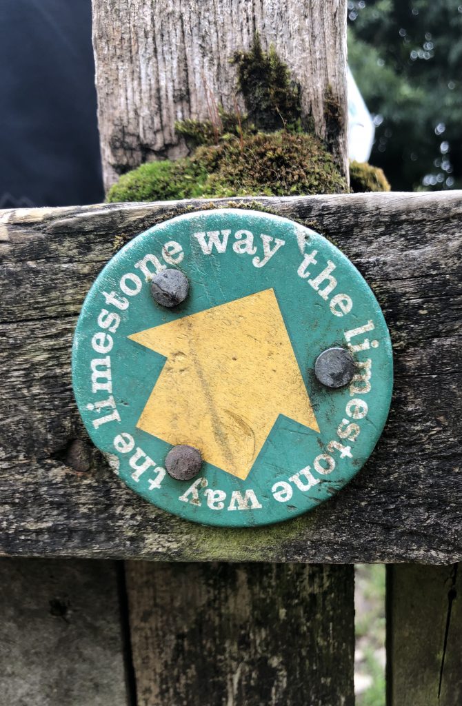
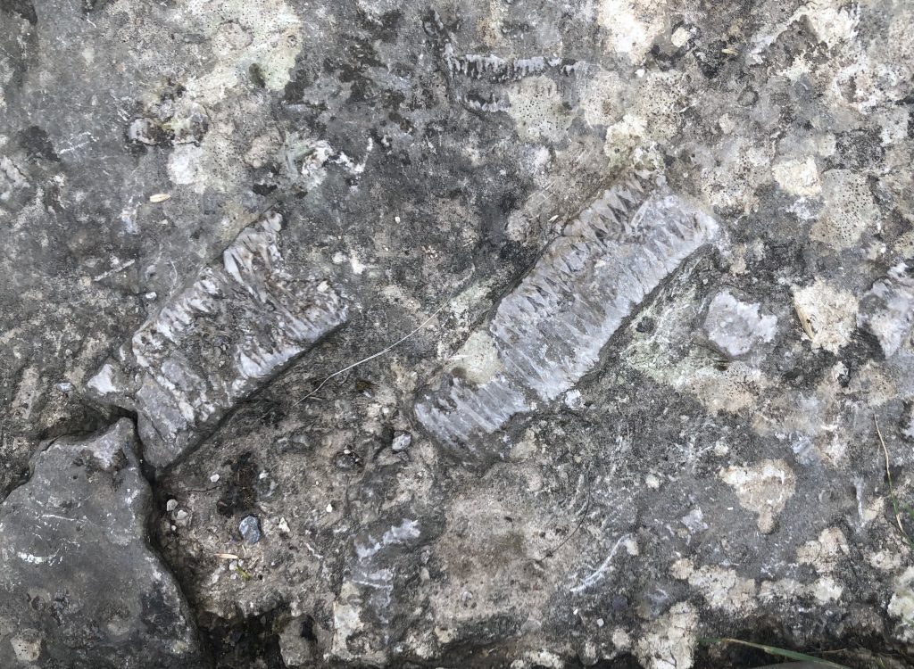
Marine fossils, Dam Dale 


Peak Forest 
Ooops… 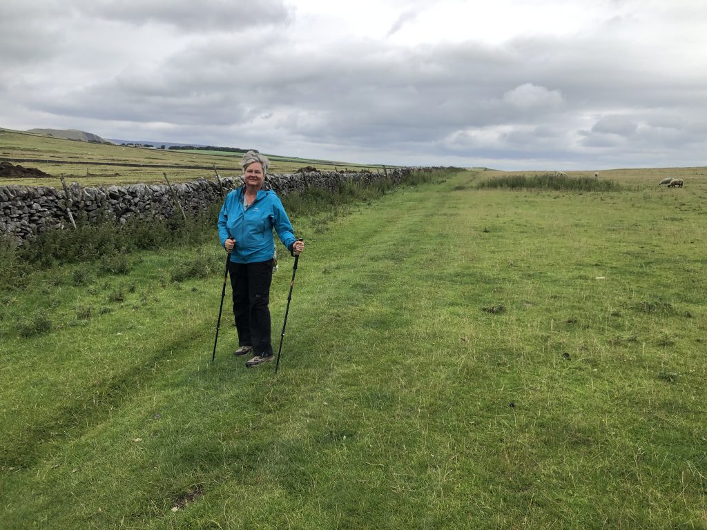
Near Oxlow Rake 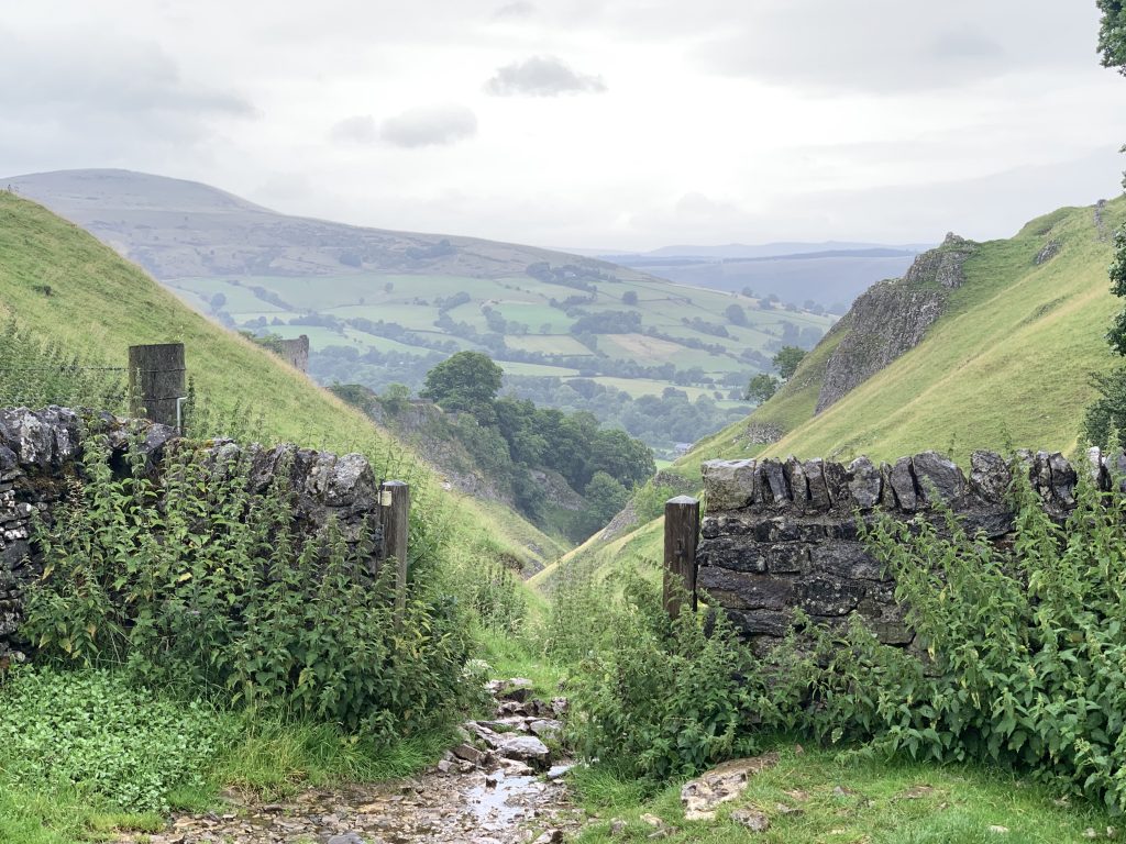
Top of Cave Dale 


Peveril Castle 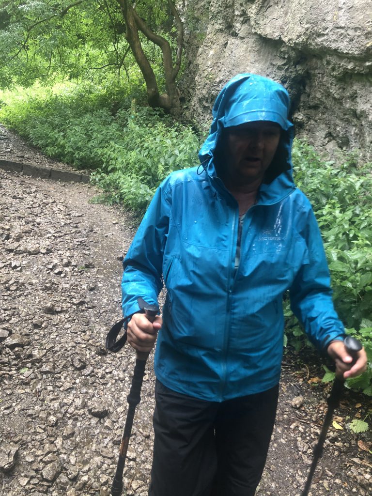
Mam Tor 
Looking back south to Castleton 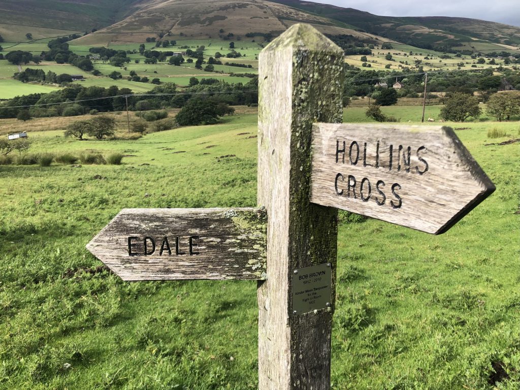

The Vale of Edale
3 Responses
You guys are amazing! Miss you!
Thanks Gary! We start the Pennine Way tomorrow; fingers crossed, it’s going to be a tough 20 days before we get to Scotland. Miss you both too.
Best wishes on the next leg of your journey. The pictures from today are gorgeous.