

Jeri’s Steps: 36,942
Miles walked: 13.7
Elevation: 2,749
Pints: 3
Churches: none
Stiles: 1
Benches: 1
Highest, Coldest, Wettest
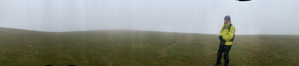
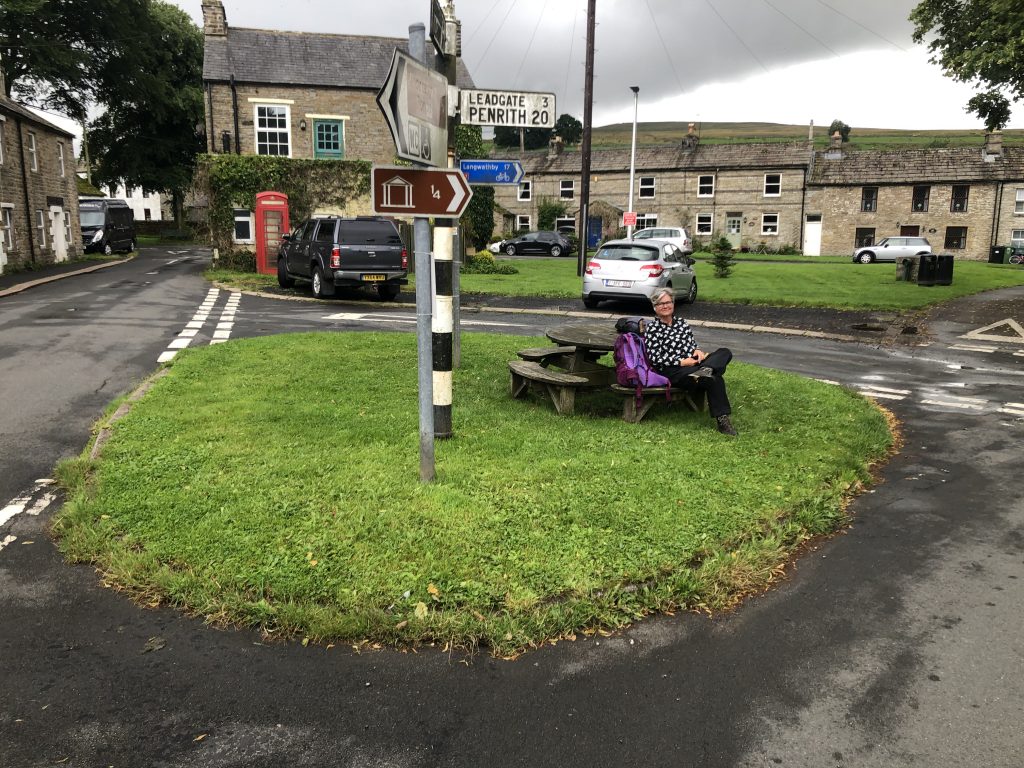
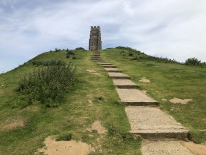
After an early breakfast we started uphill at 8:20. In the rain. We took the road route to Great Dun Fell and it was a steady, grinding wet haul upwards into the clouds. At no point in our upward journey could we see our destination. When the road met the Pennine Way we decided to stay on the road up to the radar installation. Later we discovered that this is the highest tarmac road in Britain. We didn’t take many pictures today because we were mostly focused on looking down at our feet and the weather was challenging; we soon entered into the cloud and couldn’t take any decent pictures anyway. Getting to the top of Great Dun Fell was eerie; the radar towers were barely discernible in the mist and we huddled out of the wind besides one of the buildings. We then ventured towards where we thought the path was and for the first time on this trip groped towards our direction using our GPS tracker as our only guide. We then found flagstones and followed them down into a dip then a climb to Little Dun Fell where we came across a curious circle of stones providing a wind break whilst we took a respite (and shared a Snickers bar) whilst it stopped raining momentarily. The flagstones took us down then part way up Cross Fell. The rest was a scramble up a rock field towards a series of cairns which gradually emerged through the mist. At the summit there is an elaborate stone wind shelter divided into quadrants, built in 2015 to mark the 50th anniversary of the Way, but we had neither time nor reason to stay because the wind was blowing and the rain was coming down so we headed east off towards lower ground. Which proved interesting; with no obvious path in the mist we headed off using GPS again in search of flagstones and failed to find them. Tall cairns loomed in the mist and we crossed rocky ground and quaking bogs until, low and behold, Greg’s Hut appeared as we emerged from the clouds. Greg’s Hut is a mountain bothy, a very basic shelter containing a sleeping platform, some chairs, a table and a fireplace. We used it as a lunch stop to get out of the rain and change into some marginally drier clothes. The track downhill, aptly named the Corpse Road, wound for miles (and miles) down into Garrigill and our pick-up point and seemed to take forever.
So there it was, the toughest day on the Pennine Way, the highest summit, and the worst weather, leaving us feeling exhausted but accomplished and oh so happy to get to our room.
Download file for GPS
Road to the clouds 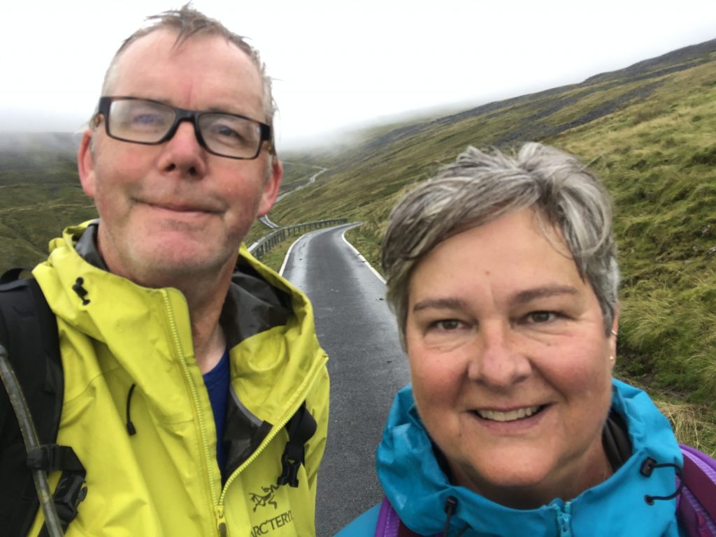

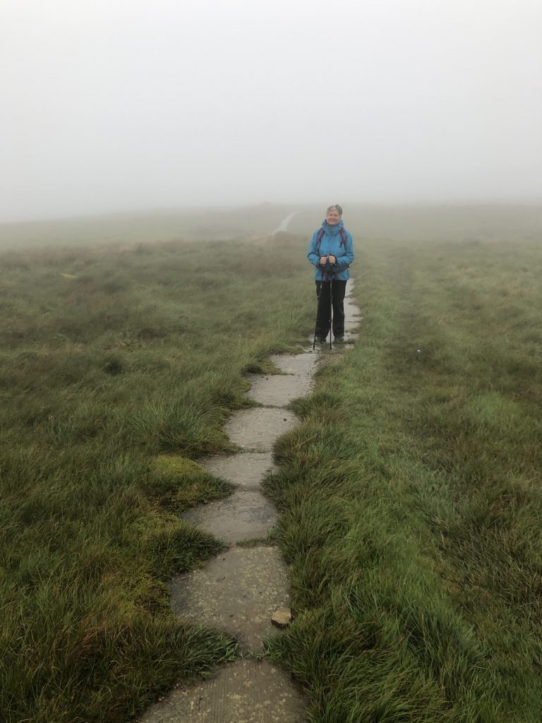

On Cross Fell 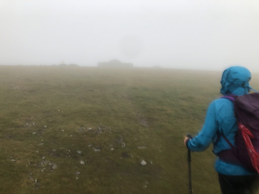
Summit in sight 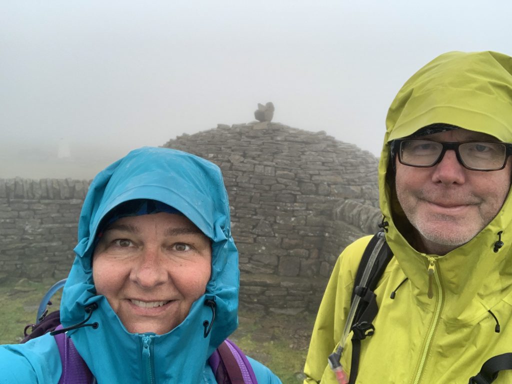
Cross Fell summit 
Greg’s Hut 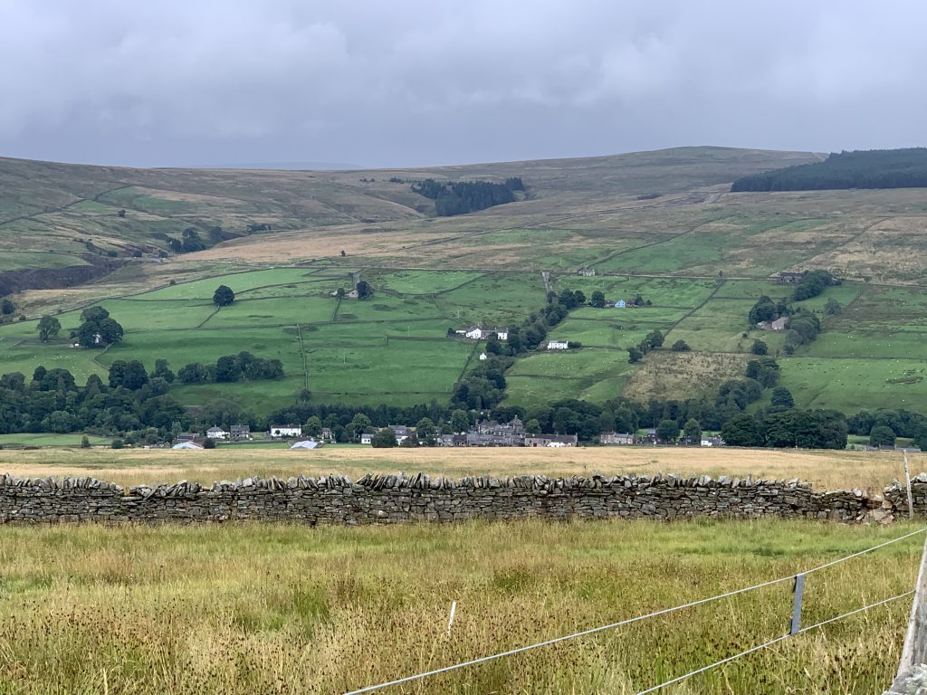
Garrigill 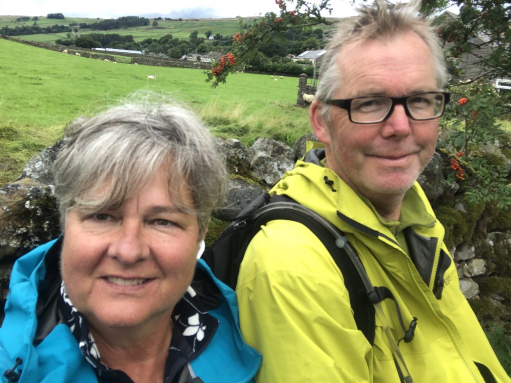
Done walking
6 Responses
Well done! We went from Hawes to Keld today in the weather. Think you had it worse than us. Our walk finishes today – I will miss it. We will be living vicariously through you so keep up the great posts. X
Congratulations on another BIG day – well done! The pictures all along have been stunning — thank you for sharing. Enjoy the final miles of Part 1 – Walk LEJOG 2021! Take good care ~ Laurie
Wow, spectacular despite the fog and rain! Great trekking!
Looks like you had proper Pennine Way weather !
Well done, must have been a right slog. Not far to go now to finish the 2021 leg of LEJOG !
Well done – don’t envy you this section of the walk.
Thank goodness you tried out the wet weather gear beforehand reminds me of some of our Sutherland walks we got lost in the clouds and beat a retreat, well done on your tough day