

Jeri’s Steps: 28,221
Miles walked: 11.3
Elevation: 1,945
Pints: 5
Churches: 1
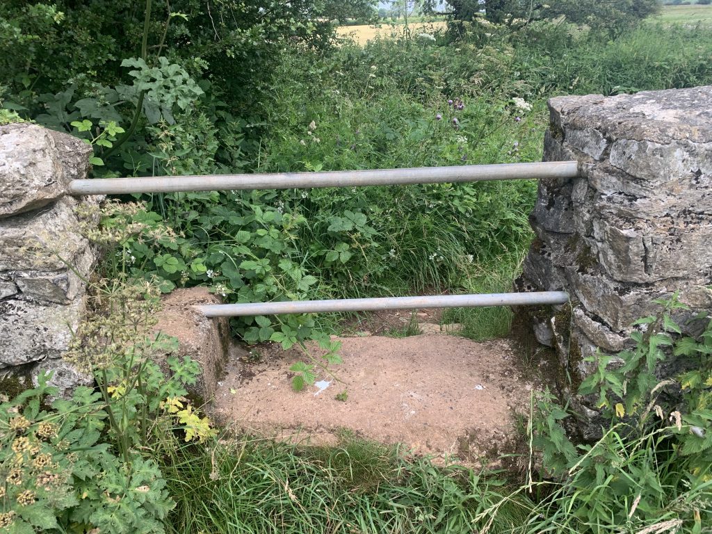
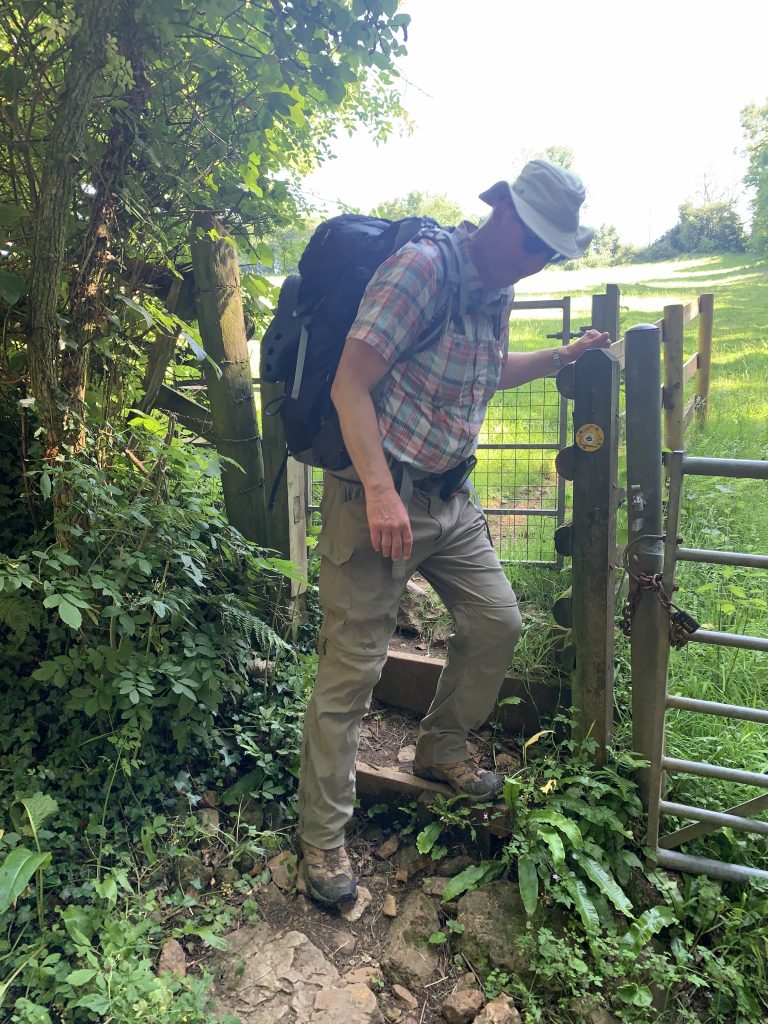
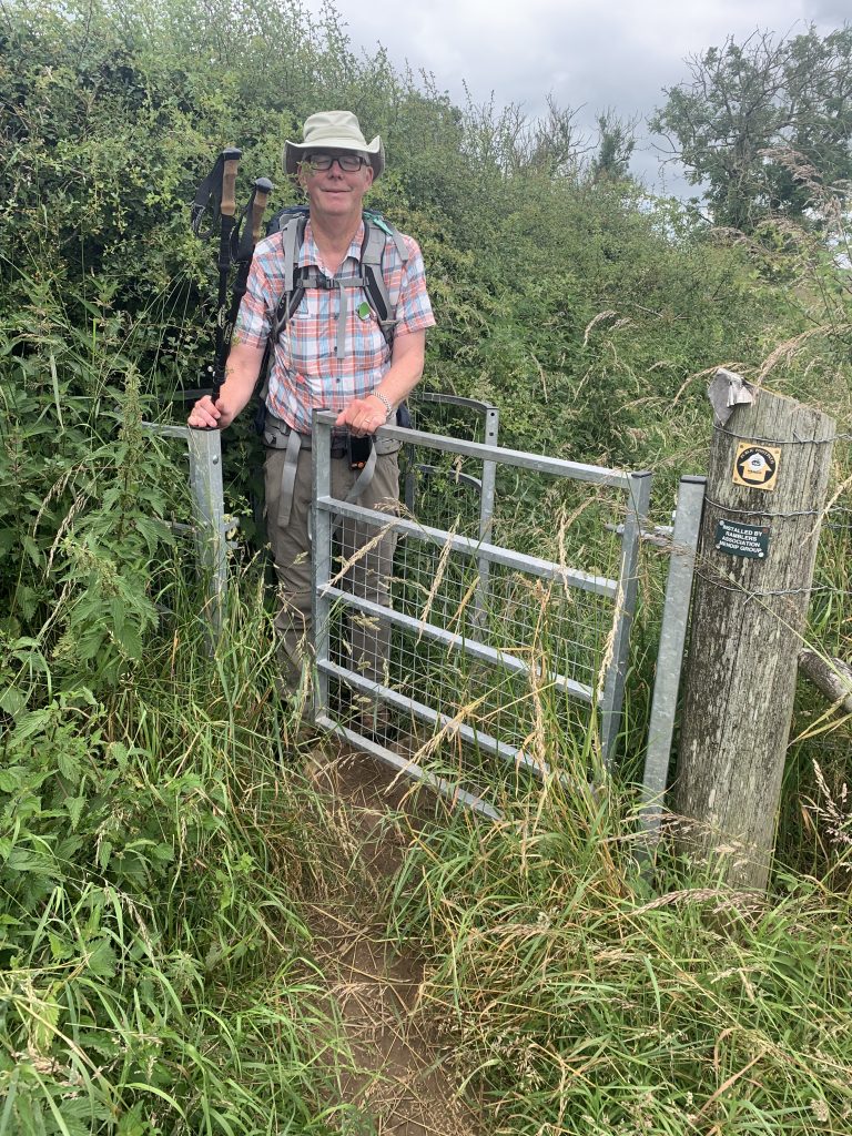
Stiles: 21
Benches: 1
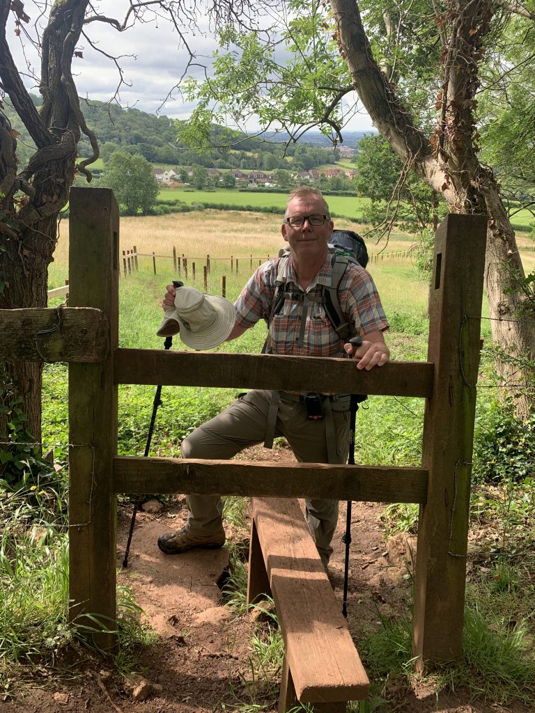
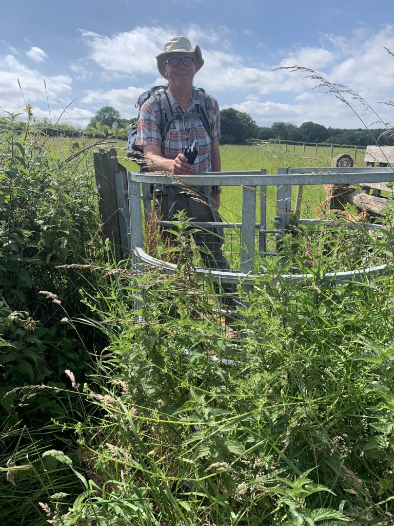
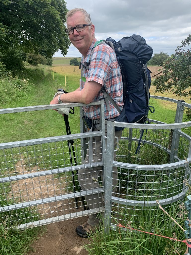
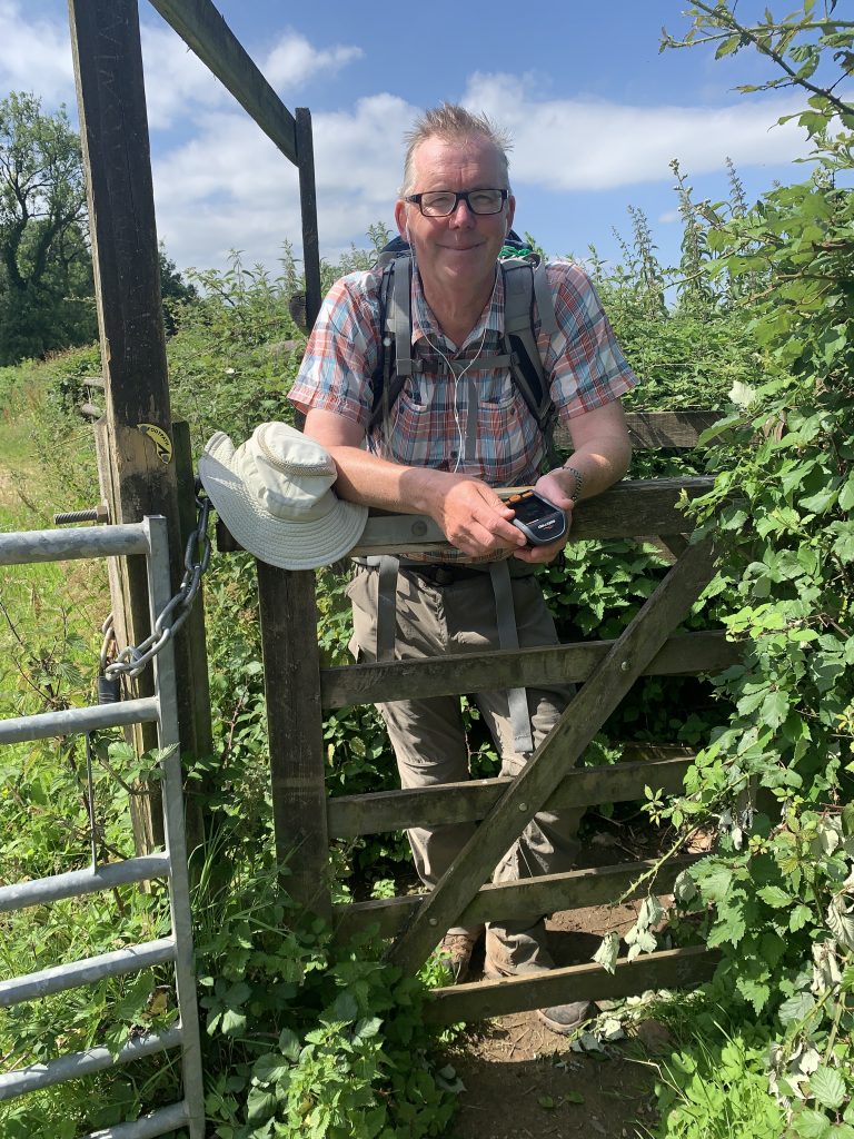
After two day’s rest the foot felt a lot better so today we got back on the trail. We shopped early at Waitrose for food and had breakfast in the nearby skatepark, which was conveniently empty. But, based on our own family’s experience (Matt do you agree?) a skateboarder is unlikely to surface at 8:30am. We climbed up the Mendip escarpment out of Wells, passing through Wookey Hole and when we got to the top the views south were fantastic. Glastonbury Tor was in the middle distance and it seemed like the whole expanse of the Somerset levels was laid out before us. To the west we could see the Quantocks.
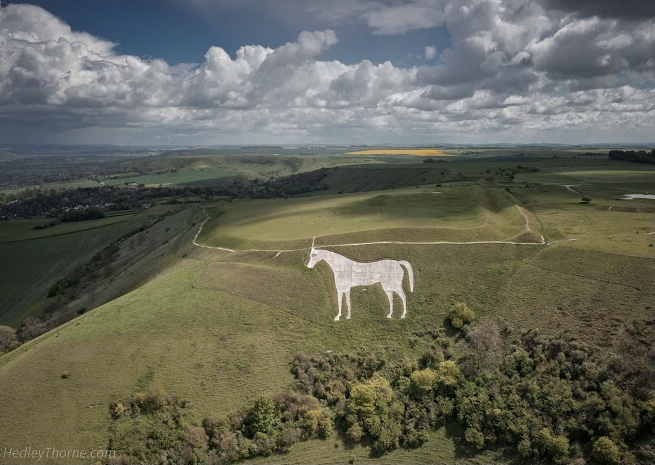
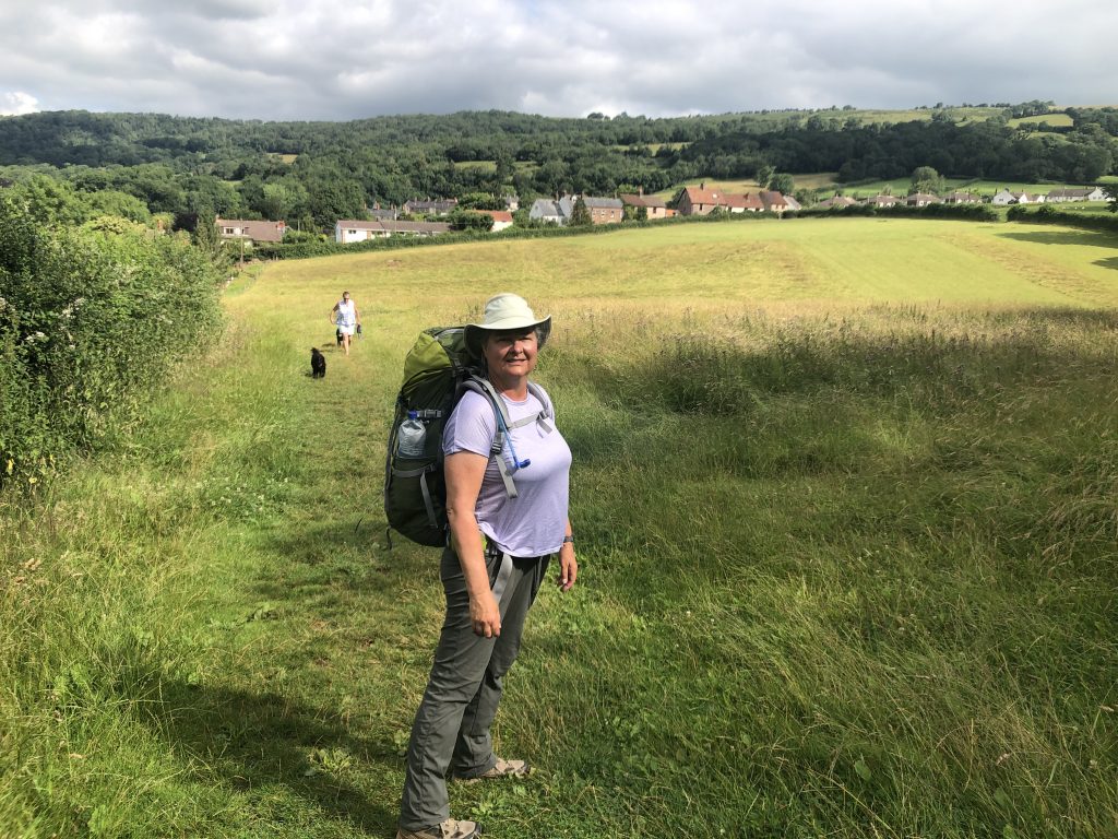
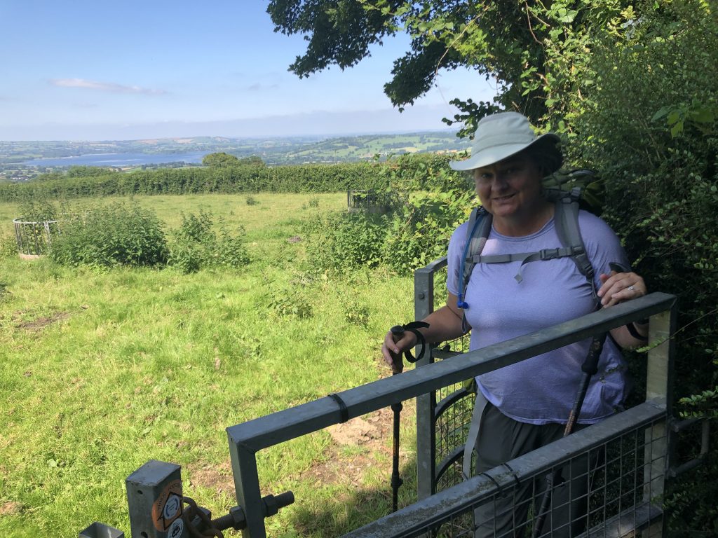
Once up on the Mendip plateau, the walking was relatively easy, through arable and pasture and the strangely named St Cuthbert’s Swallet (meaning the place where a stream goes underground) and the Priddy Mineries, an old lead mining area. We were walking initially on the West Mendip Way and the Monarch’s Way. We had lunch (at an actual picnic table!) at Stockhill Woods. After a few more miles we came to the northern side of the plateau and had the most amazing views east and north. To the east we could see as far as Salisbury Plain in Wiltshire, with the Westbury white horse visible through binoculars, about 25 miles away. The horse is one of many carved in the chalk hillsides of the downs of southern England; this one was reportedly carved in the 1770s. To the north we could see Chew Valley lake and the countryside beyond seemed to stretch towards the Cotswolds. It was rewarding to see so far expecially given the fact that we will be walking in that direction (roughly north east) for the next week. For long stretches of our walk away from the coasts in Cornwall and Devon you couldn’t see where you were going, meaning there were no views of the landscape beyond the fields in front of you and so to see beyond that to destinations days or weeks ahead is exciting. Walking down the northern slope of the Mendips was straightforward and we got to the Ring O Bells pub by 5:00pm.
A word about the daily map. Our actual route often differs from the planned one and today it was significantly different because we decided to change our destination to Compton Martin given we are no longer camping. Maybe we can fix these daily maps in future, but for now, sorry!
Download file for GPS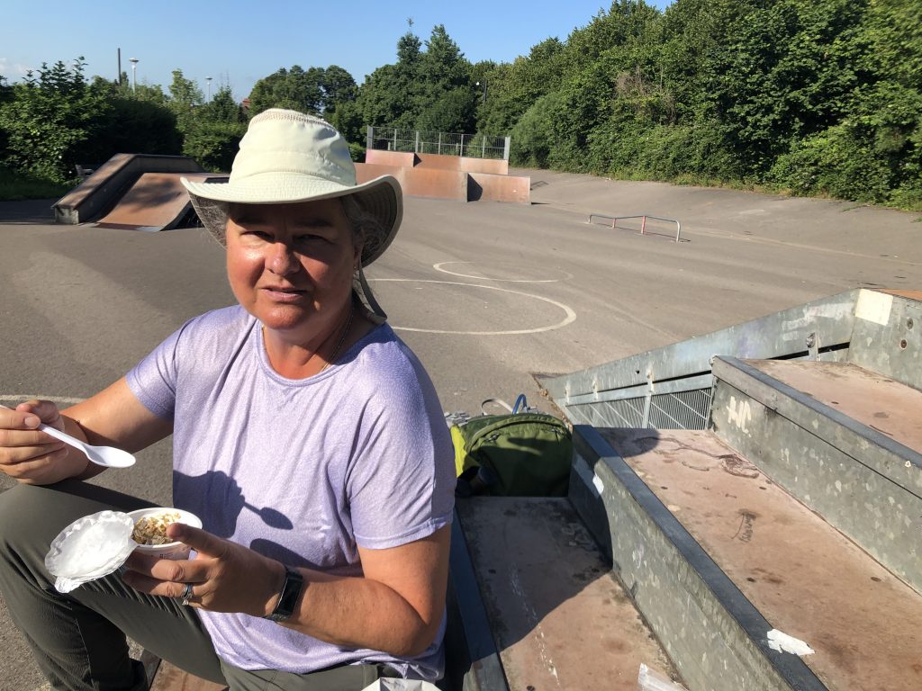
Skate park breakfast 
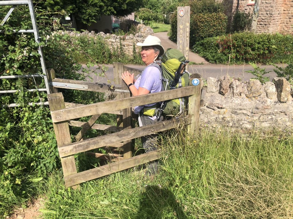
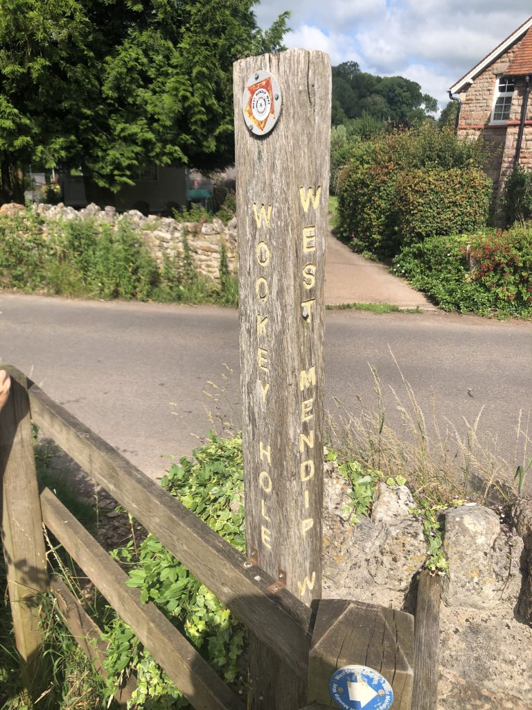
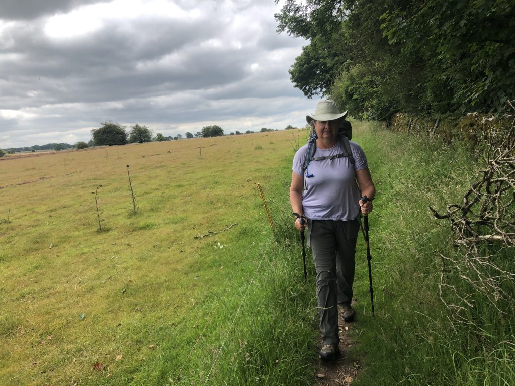
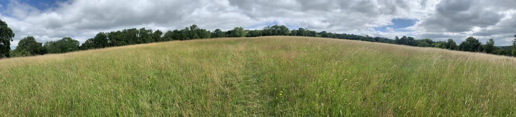
West Mendip Way 
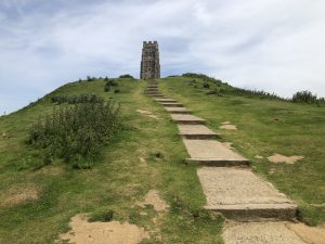
South to Glastonbury Tor 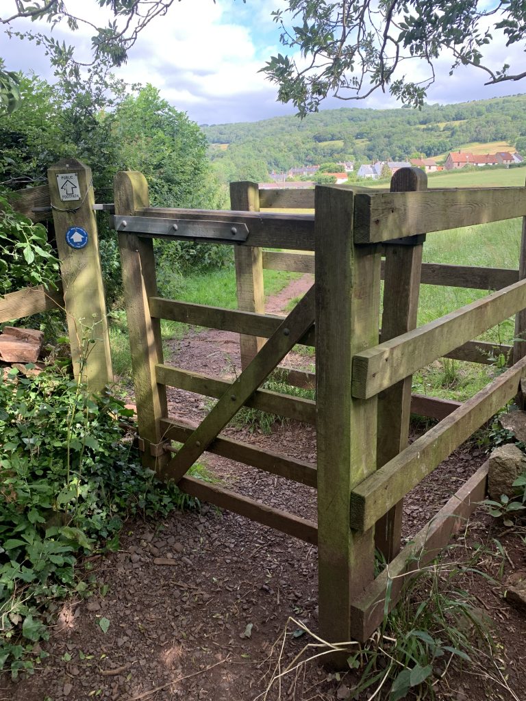
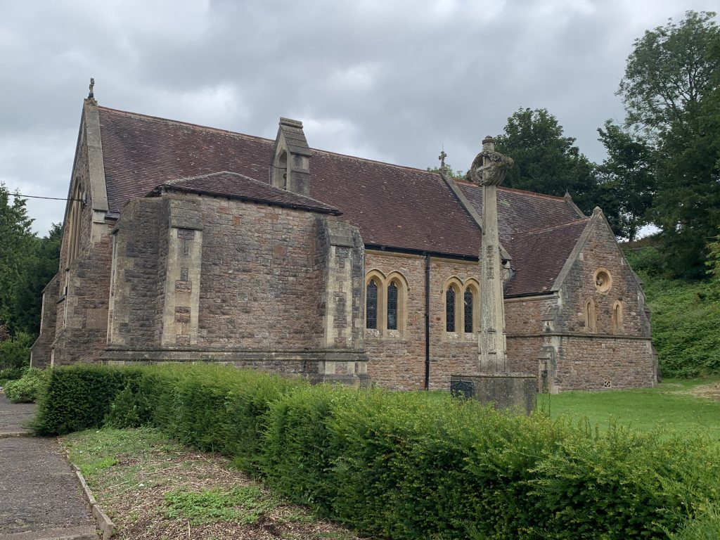
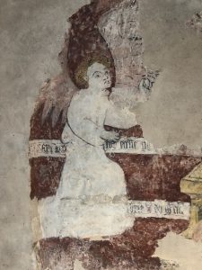
Wookey Hole church 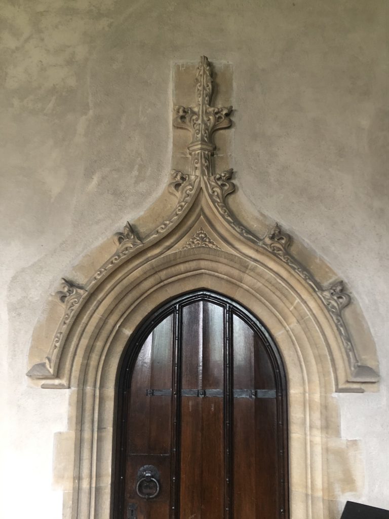


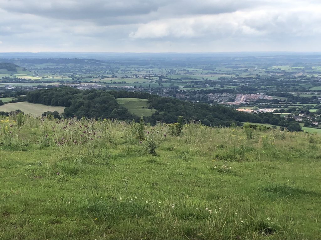
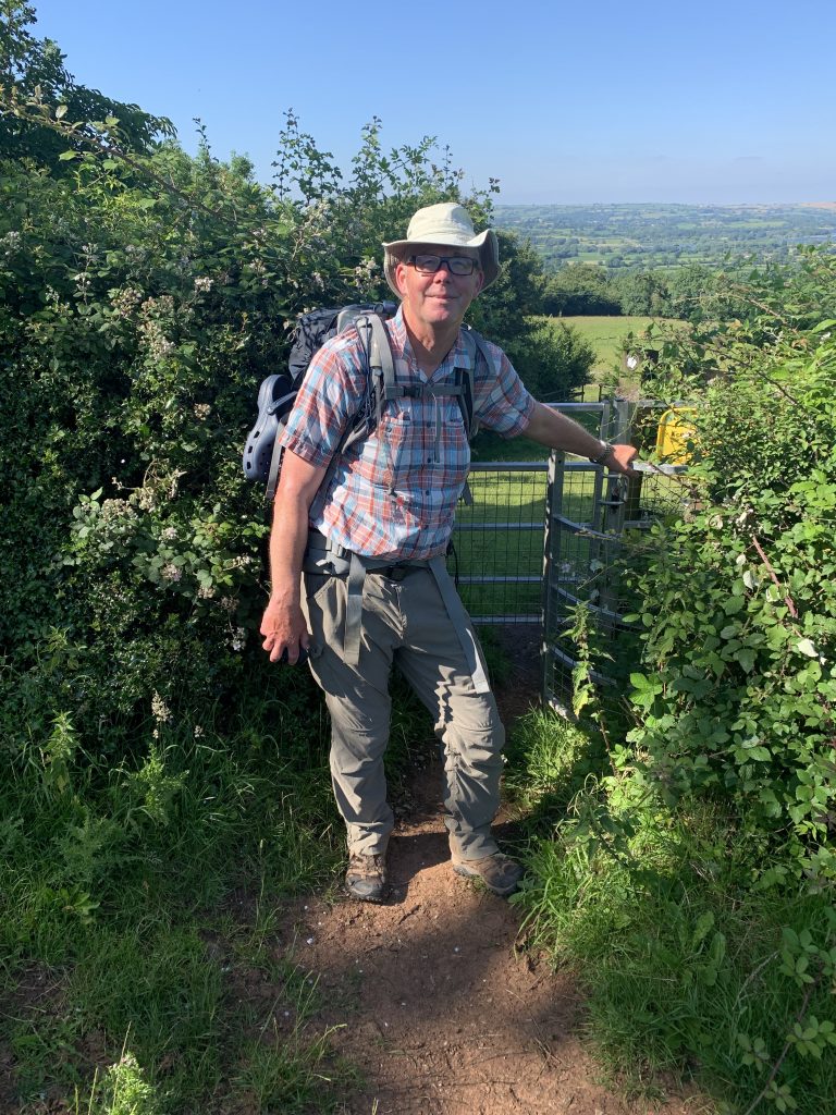
Looking south 
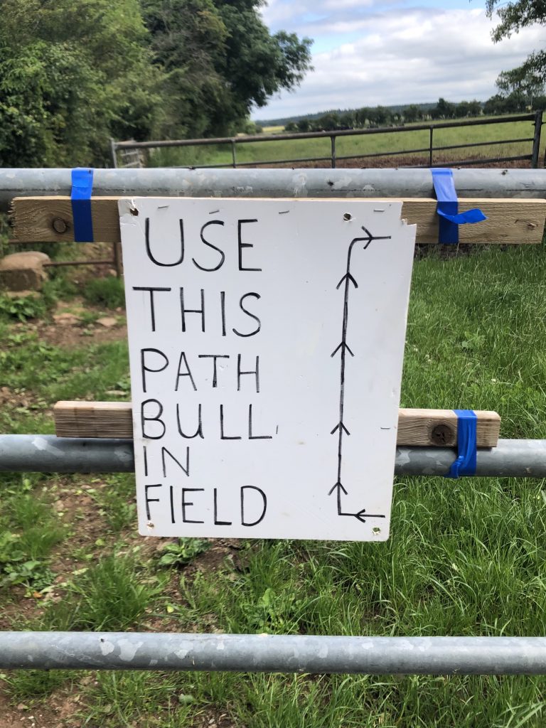
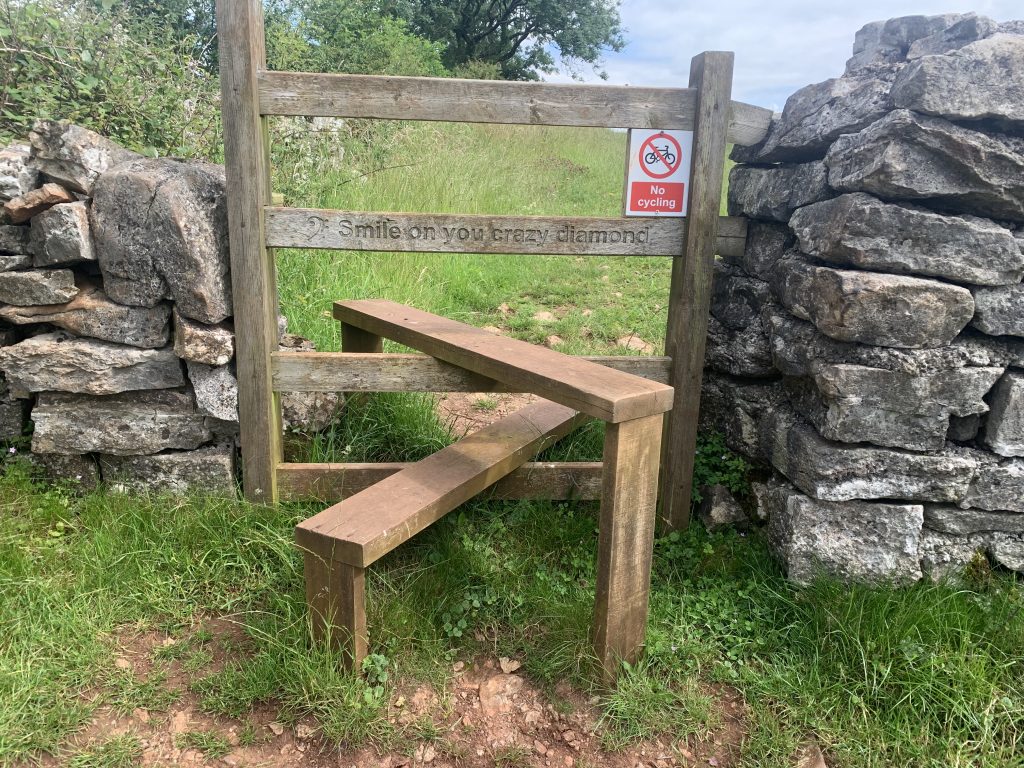
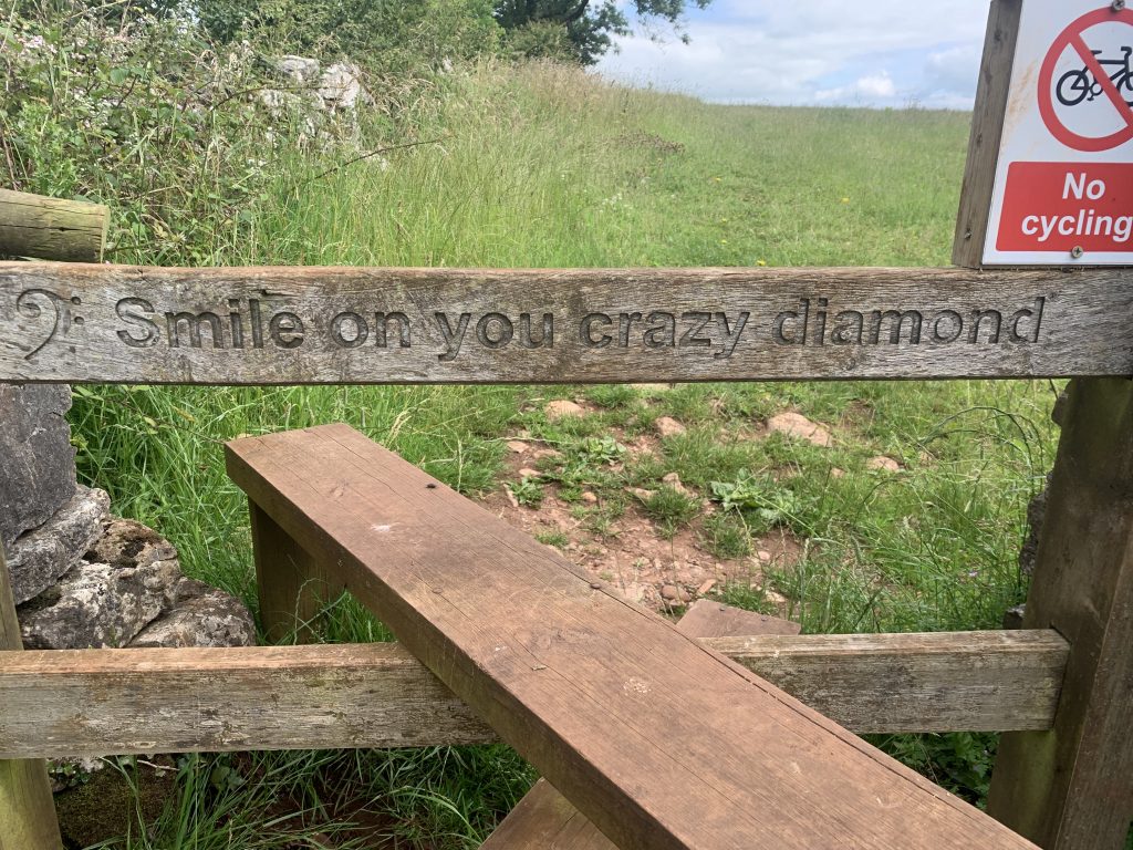
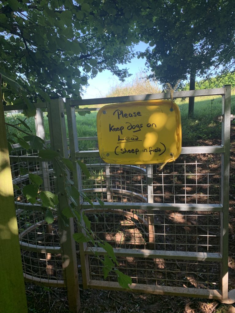
Helpful farmer’s sign 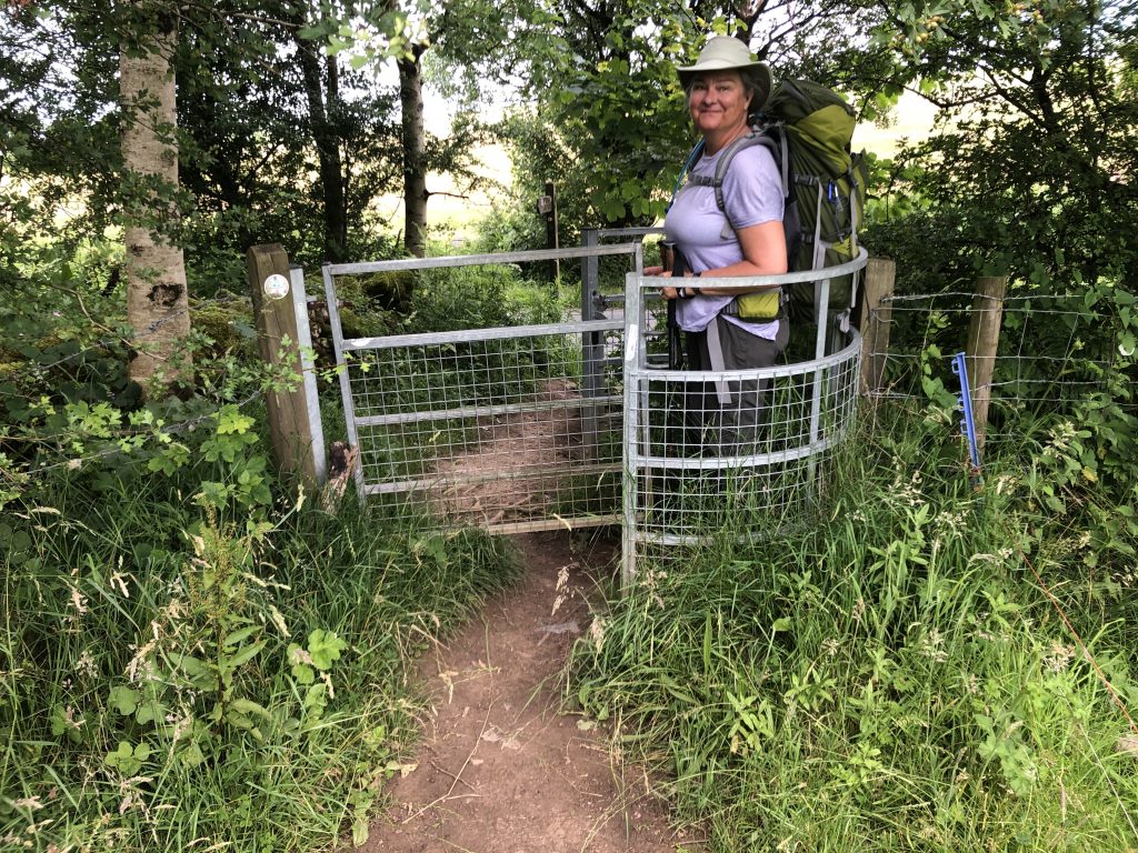

Looking east to Wltshire 


3 Responses
But where are the sheep?
Couldn’t get the photo rights sorted in time…
Glad to see Tim is doing better.